Pluneret - Circuit les deux rivières
Saint Avoye Parking
56400 Pluneret
56400 Pluneret
Features of the route
Difficulty
Easy
Length
03:00:00
Distance
12km
Saint Avoye Parking
56400 Pluneret
56400 Pluneret
Level of difficulty: Easy
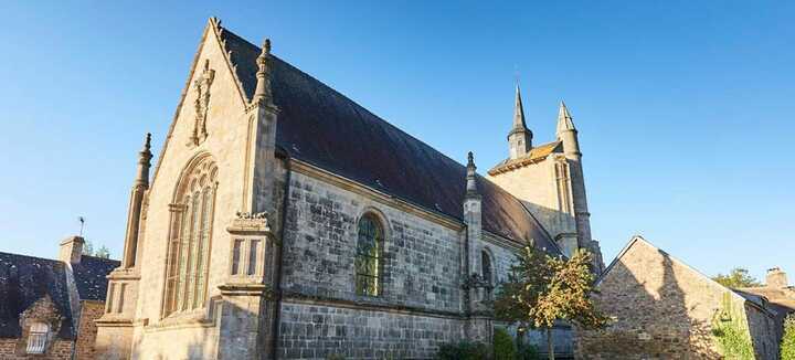
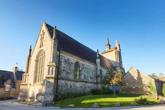
Yellow signposting -All year round The Gulf of Morbihan reveals all its charms here: a great diversity of natural environments where rural and marine heritage mingle. Overlooking the Sal estuary, the Sainte-Avoye chapel is a reminder of this marriage between land and sea.
Departure point: At the parking lot in the village of Sainte-Avoye, visitors can discover the rich heritage of the maritime part of the commune by means of two hand-drawn maps created by an artist, based on an idea by the Mairie de Pluneret.
Step by step :
1- After reading, take the road to the left, away from the village. After 600 m, at the Lann er Villin housing estate (la lande du moulin), take the track on the left.
2- At the crossroads with the D101, turn slightly right, then cross carefully where the cycle path is open and take the track. At the Ballon crossroads, turn right onto the wide track. At the road, continue straight ahead as far as the entrance to Lycée Kerplouz-Lassalle.
3- From there, turn right, then left at the bend in the road. Go under the expressway, then immediately left again on the track leading to the Saint-Goustan cemetery. Turn left onto rue de la Cordonnerie, then rue du Rolland, to go down to the port of Saint-Goustan.
4- Continue along the promenade du Stanguy. Pass behind the AFPA building and continue along the coastal path. At the pointe de Kerisper, look for the César buoy in the middle of the river. It marks the site of the remains of an aqueduct built over the river in Roman antiquity. A little further on, a group of small menhirs can be seen on the left, near the pointe de Kerisper, in the ferns. Continue on to the old Bono bridge, a suspension bridge (1840) listed as a historic monument. It is one of the last 2 examples of this type of construction in France.
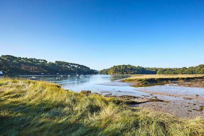
5- Continuing on the same bank, the trail passes close to the boat cemetery of Anse du Govillo. Characteristic of these vast estuaries, mudflats and salt meadows play with the boundaries between land and water. Take the path around the cove and, at the crossroads marked by wooden baffles, continue along the coastal path for 1.5 km. Opposite, on the shores of Pluneret and Le Bono, the humble huts of the terrepleins bear witness to an important oyster-farming activity that has now disappeared. The Rivière du Sal was one of the cradles of the flat oyster in the Gulf of Morbihan (19th century).
6- At the crossroads, where a century-old oak stands, turn left onto the track that winds its way up through the meadows. A sunken track leads into the village of Sainte-Avoye. After a stroll around the chapel, head up the road to the parking lot.
Disabled access
Accessible to people with reduced mobility


