Quiberon - Côté Baie: from Saint Julien to Pointe du Conguel
Port Haliguen
56170 Quiberon
56170 Quiberon
Features of the route
Difficulty
Easy
Length
03:00:00
Distance
11km
Port Haliguen
56170 Quiberon
56170 Quiberon
Yellow markings
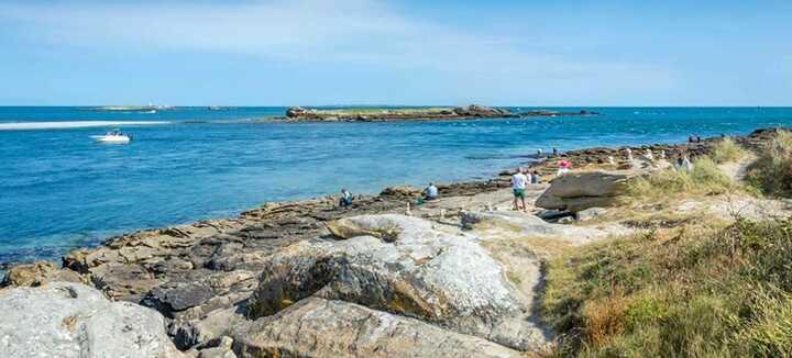
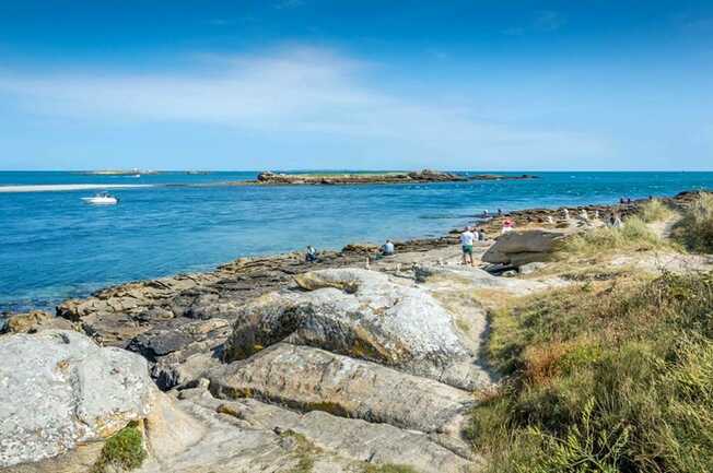
The first part of this circuit faces Quiberon Bay, one of the "most beautiful bays in the world". The pointe du Conguel offers a view of the entrance to the Golfe du Morbihan and the islands. At the end of the tour, you can explore the town's narrow streets.
Step by step :
Departure: From Port-Haliguen, cross the road and take the coastal path heading south, then the boulevard de la Teignouse. From the Pointe du Conguel parking lot, continue to the orientation table. Pointe du Conguel, the broken link between mainland and islands, the junction between bay and ocean, is an extraordinary panorama. See the entrance to the Golfe du Morbihan (orientation table). Offshore, to the south, the Teignouse lighthouse marks an area feared by sailors. The battleship France sank here in 1922.
1- Take the path along the other side of the headland. Continue up to Boulevard du Conguel.
2- Cross it and continue through the undergrowth between the accrobranche and the campsite. At the end of the wood, turn left. Continue along the track to the right, passing the Menhir du Goulvars. Erected in the Neolithic period (7,000 to 4,500 years BC), this bush-hammered stele is 6 metres high. Although it appears isolated today, this menhir probably belonged to a larger megalithic complex, as evidenced by the presence of the Dolmen du Conguel, some 150 metres to the south. Turn right onto the first track along the golf course.
3- Rue de l'aérodrome, turn left for 300 m. Turn right onto rue Joseph Le Brix. At the end, take the driveway alongside the lake. Turn right onto rue Vauban.
4- Just after rue des Douaniers, take the lane on the left, go down the stairs and walk along the Place de Port Haliguen. At the end of the square, take the alley leading to rue de Port Haliguen. Turn left for 50 m, then right into rue du Mané. Cross rue Surcouf, go straight ahead and take rue de Bellevue.
5- At the end, turn right into rue des Galets. Turn left into impasse Er-Vadjuner. Turn right onto Boulevard de Castero as far as the sea. Take the coastal path on the left and continue to Saint-Julien.
6- Once in Saint-Julien, keep right to reach rue de la Petite Côte. Turn right to reach the coastal path. Follow this to the right. Continue straight ahead as far as Port Haliguen.
7- Walk around the Vieux Port and take Boulevard des Emigrés. Walk along Plage du Porigo to reach the starting point, skirting Fort Neuf, an old battery built in 1675 at the request of Louis XIV to protect Port-Haliguen from foreign squadrons and pirates. Equipped with a high battery for firing beyond 1,000 meters, it was abandoned at the beginning of the 20th century and replaced by the buried batteries of Saint-Julien and Port-Haliguen, before being largely destroyed.
Disabled access
Accessible to people with reduced mobility


