Plouharnel - Mountain bike trail - Le chemin des 4 vents
Rond point de l'océan
56340 Plouharnel
56340 Plouharnel
Features of the route
Difficulty
Medium
Length
1h20
Distance
20km
Rond point de l'océan
56340 Plouharnel
56340 Plouharnel
Level of difficulty: Medium (average height difference: 50m)
Route n°2 green
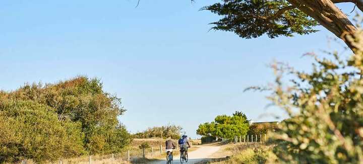
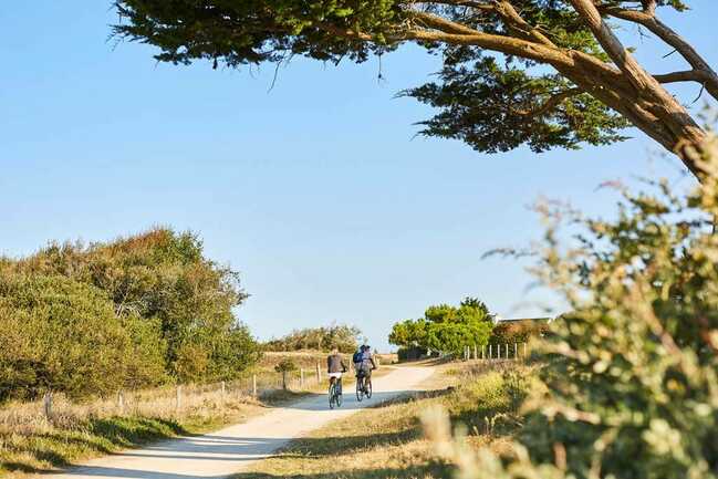
This trail lets you discover, or rediscover, Plouharnel's rich natural and built heritage, and appreciate the diversity of its landscape, from countryside to dunes, from the ocean to Quiberon Bay.
Step by step :
Start: From the Plouharnel Tourist Office parking lot, where a map of the route is available, turn right along the supermarket into rue Plasker.
1) At the next intersection, continue straight ahead along the path. After passing the Henlis housing estate on the right and then the wooded path, turn left to reach Brénantec. At the hamlet, turn left and follow the signposted path to the right. Continue along this road until you reach the D781, which you turn right onto for a few metres. After crossing the railroad line, turn right, then immediately left at the white house, to rejoin a signposted path.
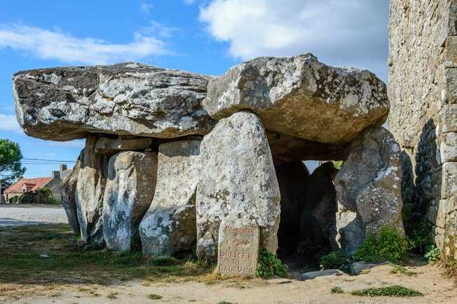
2) Follow the signs. At Rue Kerarno, you can take a short detour along the path opposite to discover the Dolmen and Quadrilatère de Crucuno, about 1 km further on. This Neolithic megalithic enclosure now comprises 22 menhirs, two of which are recumbent. A Historic Monument since 1889, it was restored by Felix Gaillard in the same period. He erected and laid out the menhirs, which were then lying on their sides, to orientate them on the cardinal points and match the diagonals to the sunrises and sunsets of the solstices. Return to Rue de Kerarno before turning right towards Kergazec. Turn left in the hamlet of Kergazec to join the D781. Cross the road and follow the path opposite.
3) The route leads here to Sainte-Barbe, its small village and then to its large ocean-side beach, popular with surfers. Enjoy this stroll through the dunes, observing the remains of the historic Bégo site (almost 180 concrete structures scattered across the Plouharnel dune). This coastal defensive line fulfilled a dual mission during the Second World War: to protect Lorient roadstead and the U. Admiral Dönitz's U-boats and to prevent Allied troops from landing on the Atlantic coast. It is one of the most powerful batteries on the Atlantic Wall. Follow the signs to the D768, then turn right. At the second roundabout, head for the Sables Blancs beach, popular with kite-surfers and windsurfers. Follow the Bay of Plouharnel as far as the level crossing.
4) After a stop at the Musée de la Chouannerie, the route continues through the Plouharnel countryside back to the town center. On the way back, at rue du Pont Neuf, turn left onto a small track that joins rue Hoche. Discover the Dolmens de Rondossec, a Neolithic monument consisting of 3 corridor tombs enclosed in a long cairn. The signposted path now leads back to the starting point, the Tourist Office.


